Maps
Trees and shrubs
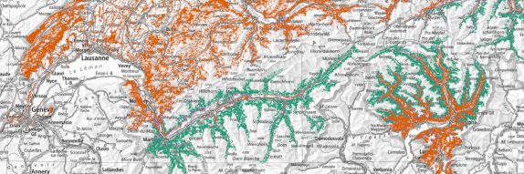
Potential distribution
Complete coverage maps showing the statistical modelled potential distribution of 56 tree and shrub species in the Swiss forest.
Observed distribution
Maps showing the observed distribution of 96 tree and shrub species on the NFI sample plots in the Swiss forest.

Mixture proportion
Proportion of broadleaved and coniferous trees evaluated nationwide in grid cells with a spatial resolution of 10 metres.

Vegetation height & surface model
Vegetation height determined with active and passive remote sensing sensors.
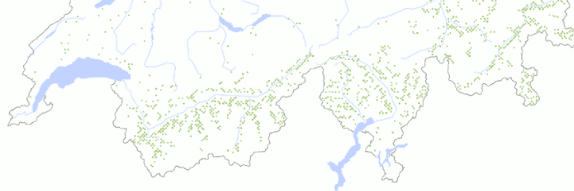
Forest ants
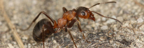
Forest ants
Where do the five most common species of red wood beetles (Formica rufa group) live in Switzerland? New maps provide information.